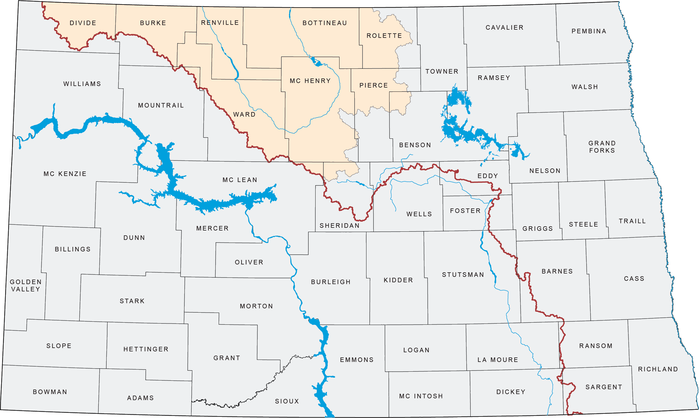
The Mouse River, or the Souris River as it is known in Canada, originates in southeast Saskatchewan near the city of Wayburn. From there, the Mouse River meanders 357 miles through North Dakota, entering near Sherwood, then flowing through Minot, to its southernmost point at Velva, North Dakota. From Velva, the Mouse turns back to the north and into Manitoba.
The topography in the basin is varied to include hilly terrain in the southwest, flat glacial lake plains in the east, and forested hills of the Turtle Mountains in the northeast.
The Mouse River basin drains nearly 23,600 square miles and has a long history of flooding. Some of the biggest floods on record happened in 1969, 1976, and 2011. The Mouse River flood of 2011 was the biggest flood event in recorded history by far.
Information
For more information on the Mouse/Souris River Basin, please contact Laura Ackerman, P.E., Water Resource Engineer at (701) 328-4868 or e-mail.

